Click on the image above to see a larger version.
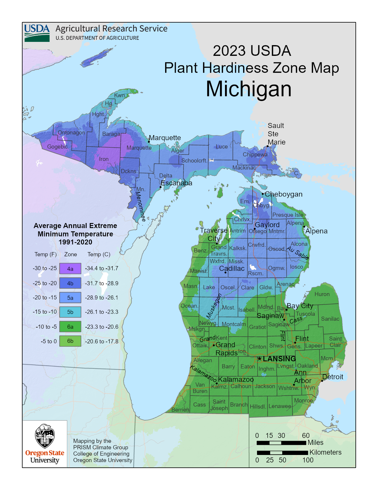
Information About the Michigan USDA Planting Zone Map
This Michigan planting map, devised by the USDA, divides growing zones into 5-degree F. (2.7° to 2.8°C.) increments according to average winter low temperatures over a 30-year period. A new map for 2023 was recently released which indicates warmer average winter temperatures for many areas.
This information is useful to both novice and experienced gardeners.
To locate your planting zone on the map, you can click to enlarge the map and find your general area. The Michigan plant map includes zones of cooler areas like 4a, 4b, 5a, and 5b. There are also warmer pockets in the state that include zones 6a and 6b. Understanding which growing zone you reside in is of enormous assistance when you are selecting flowers, trees, shrubs, or perennial food crops for your landscape and garden areas. Within each growing zone are microclimates, which exist because of landscape features such as hills or valleys or hardscape elements including buildings, concrete, etc.
Other factors such as the winter sun, wind, humidity, and soil nutrients play a role in the determining how hardy a particular plant will be through the winter. In general, the USDA planting zone map is an extremely useful tool, and most plant distributors and local nurseries in your area provide zone information with their plants.
-
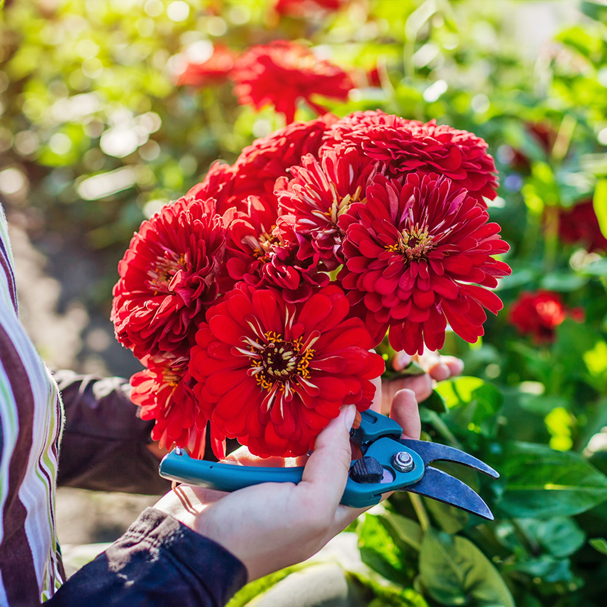 Zinnias On Repeat: 10 Glorious Cut-And-Come-Again Varieties For Endless Summer Bouquets
These zinnia varieties keep giving all summer, making them the perfect choice for dedicated cutting gardens – or just the occasional homegrown bouquet.
-
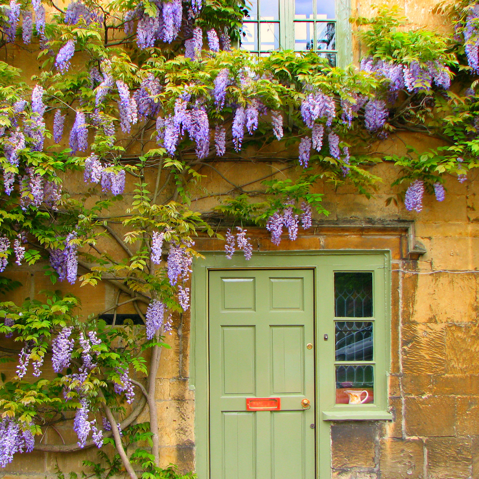 Create A Romantic Garden Straight Out Of Bridgerton: Regency Era Romance In Your Garden
Try some romantic garden ideas straight out of Bridgerton. Flowers and gardens in the Regency era were lush and charming and you can get the same look!

